

Most long-distance European trails have had decades, sometimes centuries, to build their reputation. The Via Dinarica has had about fifteen years, and it already ranks among the most ambitious hiking routes on the continent: roughly 1,260 kilometres along the spine of the Dinaric Alps, through five countries, ending at a valley in northern Albania that most hikers on the trail have never heard of until they’re standing in it.
This is the complete picture, what the trail actually is, what each country’s section offers, and a proper look at the Albanian finish, which is where the Via Dinarica earns its reputation as something more than a connect-the-dots hiking route.
The trail at a glance
Detail | Figure |
Total length (White Trail) | approximately 1,260 km |
Countries crossed | Slovenia, Croatia, Bosnia and Herzegovina, Montenegro, Albania |
Total elevation gain | approximately 49,600 m |
Highest point | 2,694 m, Maja Jezercë, Albania |
Lowest point | 188 m |
Typical thru-hike duration | 45 to 60 days |
Hiking season | mid-April to late October, best May to September |
Difficulty | difficult, remote sections require self-sufficiency |
The three trails, not just one
“Via Dinarica” actually refers to a network of three parallel routes, and most of what gets discussed online is really just the first one.
- The White Trail follows the highest ridgeline of the Dinaric Alps and is the main, most complete route, the one this guide focuses on. It includes the highest peak in every country it crosses except Slovenia.
- The Blue Trail runs along the Adriatic coast, islands and lower coastal mountains, mostly within Croatia, and remains less developed than the White Trail.
- The Green Trail winds through the lower valleys north of the White Trail and extends into Serbia and Kosovo, also still under active development.
Unless a guide or itinerary specifically says otherwise, “hiking the Via Dinarica” means the White Trail.
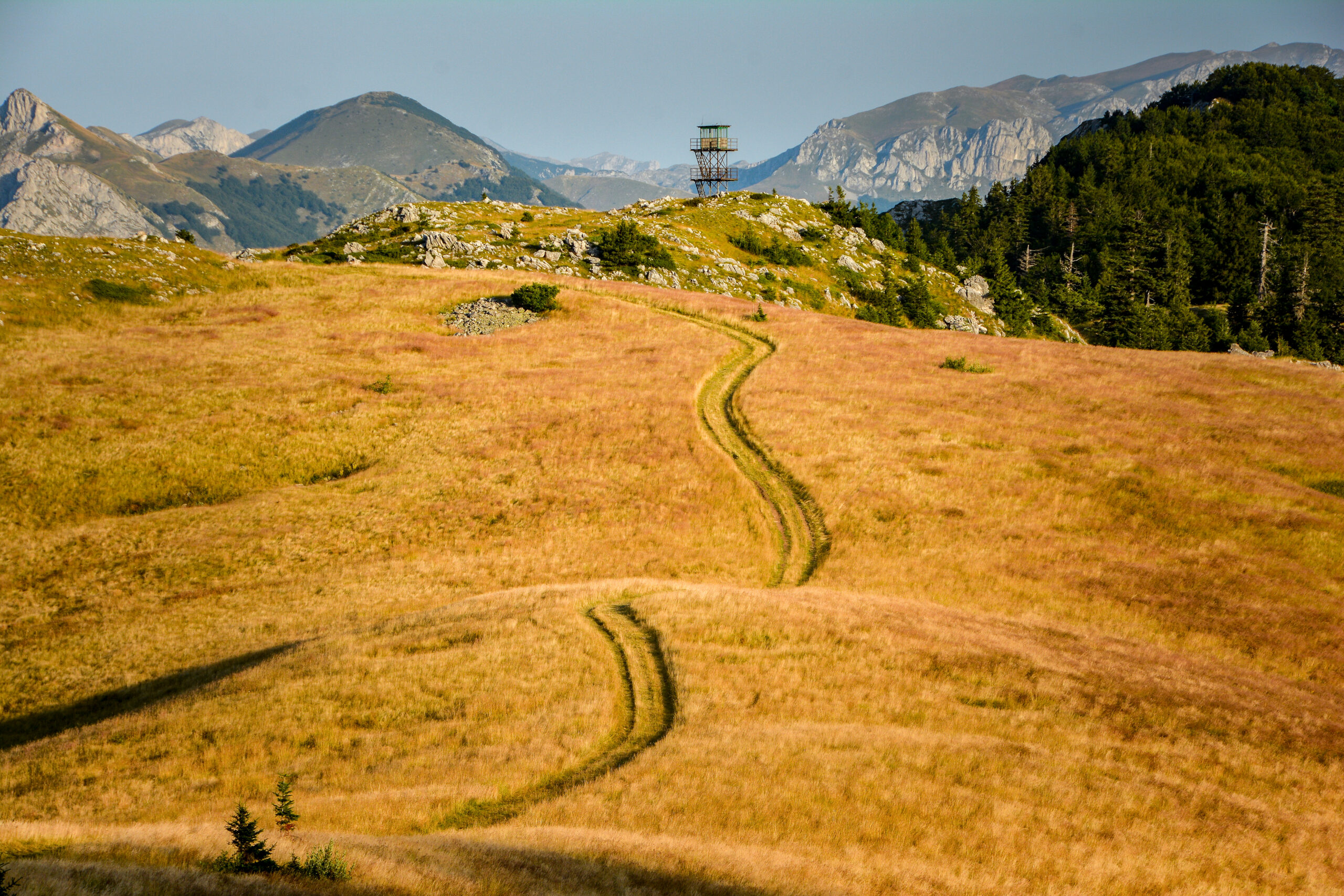
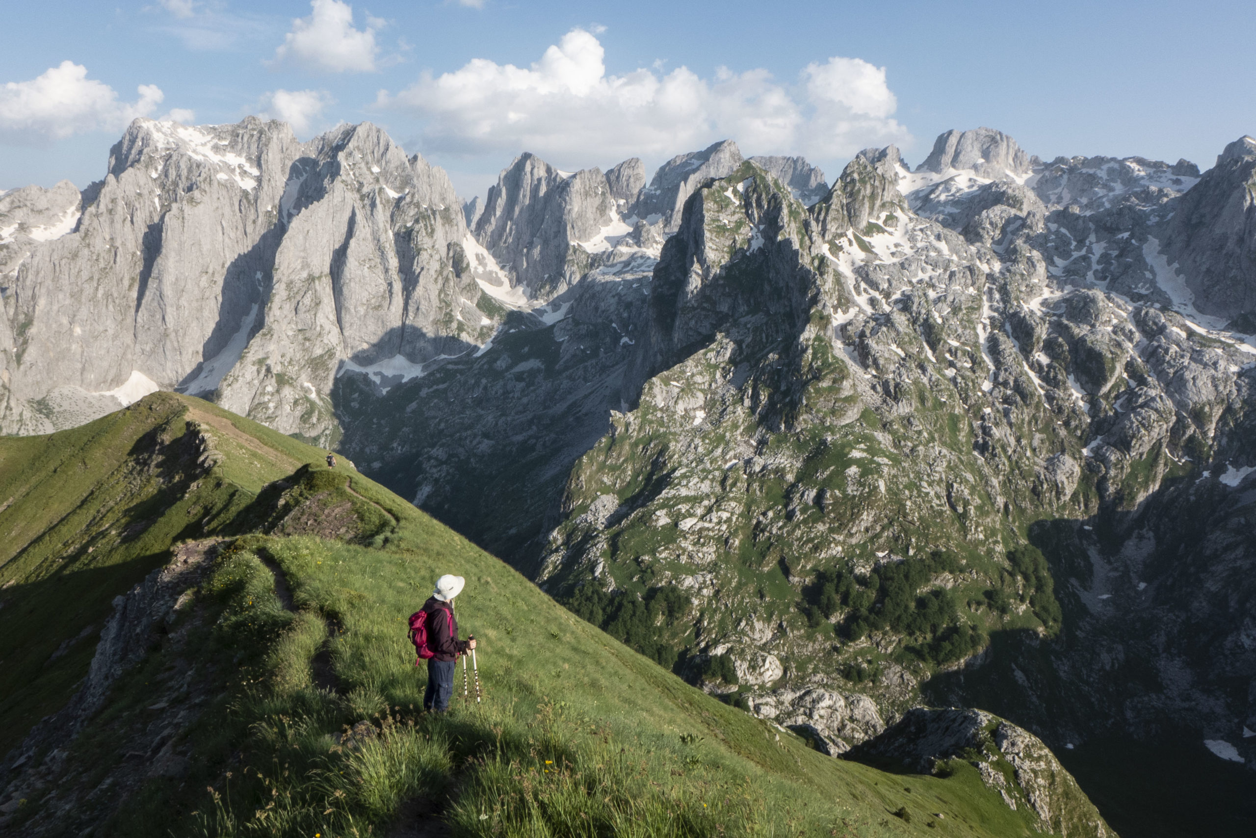
Country by country
Country | What defines this section |
Slovenia | Starts at Razdrto, near the Nanos plateau, gentler terrain than what follows |
Croatia | Velika Kapela, Velebit and Dinara ranges, including the well-regarded Premužić Trail |
Bosnia and Herzegovina | Often called the trail’s most dramatic stretch, through the Prenj mountains and deep wilderness |
Montenegro | Central Montenegro’s high peaks, including terrain near Durmitor National Park |
Albania | Finishes in the Accursed Mountains, ending in the Valbona valley |
Slovenia eases hikers in rather than throwing them at the highest terrain first. The route begins at Razdrto, at the foot of the Nanos plateau, and the walking here is genuinely approachable compared to what’s coming, a sensible warm-up rather than the trail’s highlight.
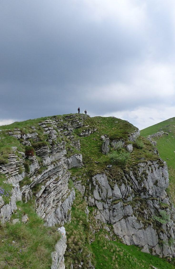
Croatia is where the karst landscape the Dinaric Alps are named for really shows itself, bare limestone ridges, sinkholes, and the Velebit range’s Premužić Trail, a well-built path from the 1930s that’s still considered one of the finest single stretches on the entire route.
Bosnia and Herzegovina gets described by more thru-hikers as the trail’s best section than any other country, largely thanks to the Prenj mountains, genuinely remote terrain that sees a fraction of the foot traffic Croatia’s more accessible stretches do.
Montenegro brings the trail through some of its highest and most exposed terrain, passing near Durmitor National Park, before the route begins its final descent toward the Albanian border.
Albania, covered in full below, closes the trail in the Accursed Mountains, ending at Valbonë after passing through Theth.
The trail was launched in 2010 as part of a UNDP and USAID-backed push to grow tourism in rural Balkan communities, and it shows: several stretches pass through villages where trail-related income is genuinely new, alongside long, empty sections where being self-sufficient isn’t optional.
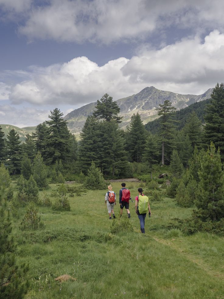
The Albanian finish, where the trail earns its name
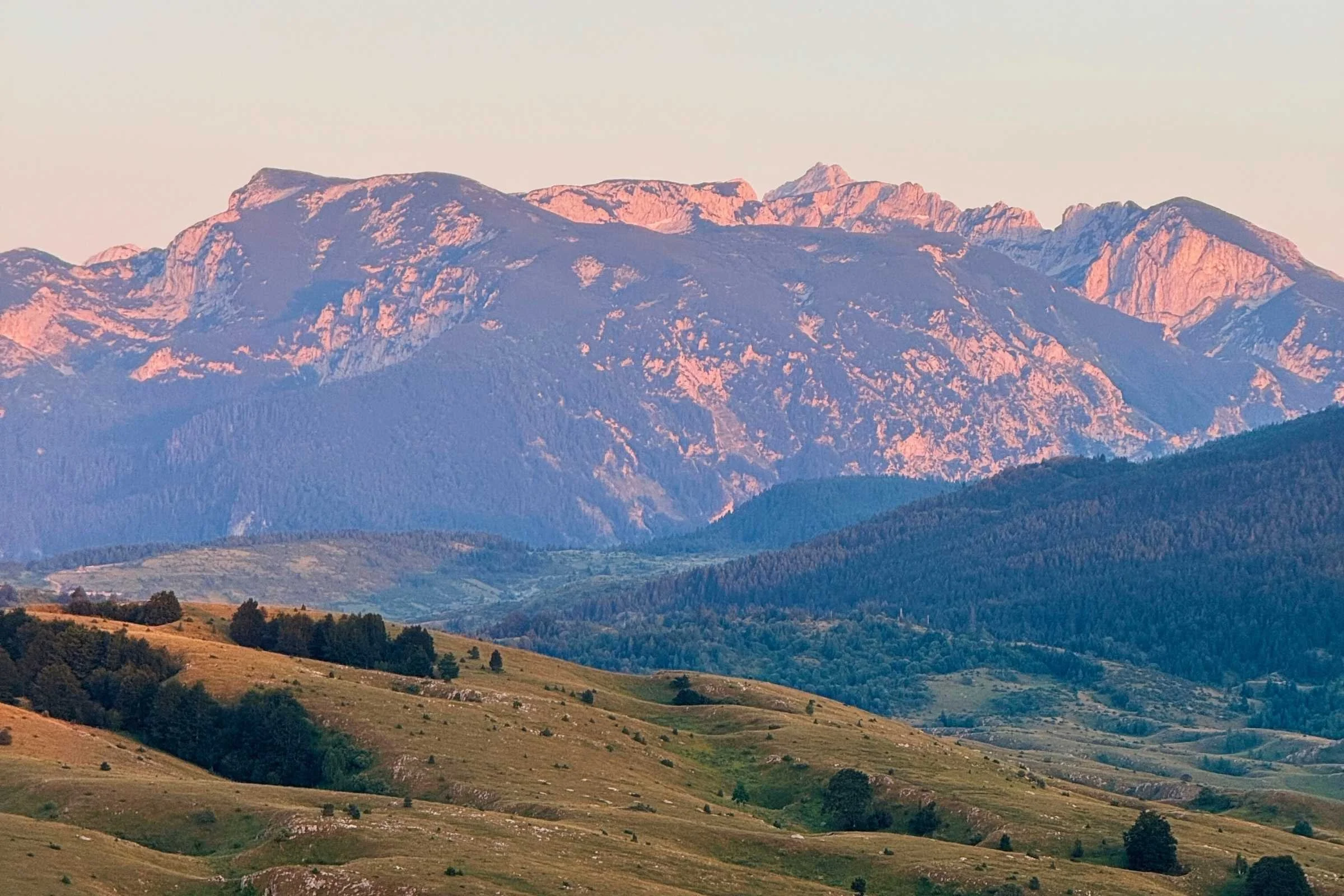
The White Trail’s final stage runs through the Accursed Mountains, Bjeshkët e Nemuna, and ends in the Valbona valley, having passed through Theth on the way. The last official stage alone covers about 20 kilometres with roughly 1,135 metres of ascent, a demanding finish to a trail that’s already covered over a thousand kilometres by the time hikers reach it.
What makes this section worth a deep look on its own, beyond simply being the endpoint:
- It shares terrain with the Peaks of the Balkans trail, a separate but overlapping route linking Albania, Kosovo and Montenegro, so hikers finishing the Via Dinarica often cross paths with a different trail community entirely in its final days.
- Maja Jezercë, the trail’s highest point at 2,694 metres, sits right at this end of the route, a serious multi-day detour for anyone who wants to summit rather than simply pass through.
- Guesthouse infrastructure is genuinely good in Theth and Valbonë specifically, even though much of the Albanian countryside the trail crosses beforehand has far less of it.
- There’s active discussion of extending the trail further, into North Macedonia, which would eventually make Albania a mid-route country rather than the finish line. For now, Valbonë is where the White Trail ends.
For most people, the realistic way to experience this section isn’t as the final week of a two-month thru-hike. It’s as a standalone trip: fly into Tirana, get yourself to Valbonë or Theth, and hike the same terrain the full trail’s stage 45 covers, the Valbona-Theth crossing, without needing the other 1,240 kilometres to appreciate it.
Planning a trip, thru-hike or section hike
- Full thru-hike: budget 45 to 60 days, mid-April through October for the full weather window, though starting in May and finishing by September avoids both early and late snow at altitude.
- Section hiking: the more realistic option for most people. Bosnia and Herzegovina’s Prenj mountains and Albania’s Theth-Valbona stage are the two sections most frequently recommended as standalone trips.
- Accommodation: a mix of staffed mountain huts, seasonal huts, free unmanned shelters, and village guesthouses, unevenly distributed. Some stretches have plenty of options; others require carrying camping gear and several days of food.
- Permits: none required for most of the route, though some national parks charge small entry fees, and these vary by country.
- Navigation: waymarking quality varies significantly by country. Croatia and Slovenia’s sections are generally well-marked; parts of Bosnia and Herzegovina and Albania require GPS tracks and genuine route-finding experience.
If you don't have 45 to 60 days
Most readers of a guide like this one aren’t planning a full thru-hike, and the trail is genuinely good broken into pieces. A few realistic starting points:
- A long weekend: the Theth-Valbona crossing in Albania, flying into Tirana, doable as a single demanding day or a relaxed two-day version with a night in Theth.
- A week: add Maja Jezercë as a multi-day detour from either Theth or Valbonë, or combine the Albanian crossing with a few days in Montenegro’s Durmitor National Park nearby.
- Two to three weeks: the Bosnia and Herzegovina section through the Prenj mountains, widely considered the trail’s most rewarding stretch, paired with Croatia’s Velebit range and the Premužić Trail.
- A full season: the complete White Trail, Slovenia to Albania, planned around the May-to-September weather window with enough buffer for weather delays.
What to pack, regardless of which section you hike
- A proper GPS track, not just a paper map. Waymarking gaps are common enough that relying on signage alone is genuinely risky in the more remote sections.
- More food than you think you need, particularly through Bosnia and Herzegovina and the Albanian approach to Valbonë, where villages and resupply points are spread further apart than on most European trails.
- Layers for genuine temperature swings. Even in July, ridgeline camps and the higher passes get cold overnight, this isn’t a trail where a single fleece will do.
- Cash in small denominations, since guesthouses and mountain huts along much of the route, especially the Albanian stretch, aren’t set up for cards.
Frequently Asked Questions
Do I need to hike the whole Via Dinarica to experience the Albanian section?
No, and most people don’t. The Theth-Valbona stage works perfectly well as a standalone one or two-day trip, without needing the rest of the trail.
How difficult is the Via Dinarica compared to other European long-distance trails?
Difficult, and less forgiving than most well-known European trails because of uneven infrastructure. Sections in Bosnia and Herzegovina and Albania require more self-sufficiency and navigation skill than the equivalent stretch of, say, the Alpine GR routes.
What's the difference between the Via Dinarica and the Peaks of the Balkans trail?
They’re separate trails that overlap in the Accursed Mountains around Theth and Valbonë. The Peaks of the Balkans is a shorter, dedicated loop through Albania, Kosovo and Montenegro; the Via Dinarica White Trail passes through the same region on its way to a different endpoint.
Is the trail well marked the whole way?
Unevenly. Slovenia and Croatia are generally reliable. Some stretches further south, particularly in Albania, are thinner on waymarking and benefit from a downloaded GPS track or a local guide.
When does the Valbona Pass close for winter?
Typically from early November through early or mid-June, depending on snowfall that year. The reliable hiking window for the Albanian finish is June through September.